
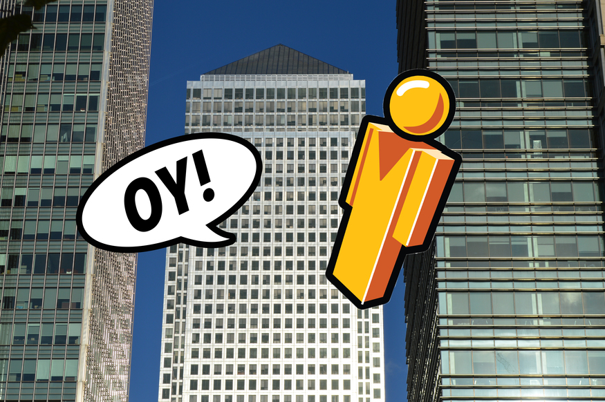
Dangle the little yellow man over London and it's immediately clear that Google Maps' all-seeing camera has been pretty comprehensive. Every blue line is a thoroughfare covered by Street View.

Gaps in coverage are few and far between, particularly in the centre. But look at the huge barren patch at Canary Wharf.

The whole of the Canary Wharf Estate is absent from official Street View. We contacted their press office to find out why.
"We don’t allow this service on the Estate due to security reasons," was the succinct and unqualified answer. Other privately overseen commercial districts such as Broadgate and More London have welcomed Google, even allowing the cameras into pedestrianised areas.
It's not our place or expertise to speculate on the Wharf's unique set of security needs and we would, of course, support any regulations that keep the public safe. You will, however, spot the apparent flaw in the interdiction. Look again at the map:

Every one of those blue circles is a spot where a member of the public has taken a 360 image and uploaded to Street View. You can drag Pegman to any of those azure hoops and get a Street-View-like experience from that position. The coverage isn't as good as official Street View, but it's not far off.
Were all of these shots taken with the Estate's permission?
"We are an open public space so we cannot prevent members of the public taking pictures nor would we want to however any commercial photography requires a permit," came the unpunctuated reply.
Other London locations opaque to Street View
Canary Wharf seems to be the largest collection of streets in Inner London to avoid the almost-all-seeing-eye of Silicon Valley. Other omissions can be found, though. You can get a good sense of the gaps by zooming out to god-view, and dragging Pegman anywhere over the map:

As you can see, most of the blueless patches are along the rivers Thames and Lea — often former industrial sites awaiting redevelopment. The largest area is along the Lea, between Bromley-by-Bow and Canning Town. Much of this is derelict land, but if you're after a street view of Amazon Fulfilment Centre LCY1 or the local suite of gasholders, then you'll just have to do it the old-fashioned way. Other notable (and understandable) gaps include the Battersea Power Station development site, Convoys Wharf in Deptford, and the west bank of Greenwich Peninsula.
Sometimes, non-commercial areas have elected to stay out of our computer screens. Private streets like Aberdeen Park in Highbury and College Road in Dulwich shall not let the virtual wanderer pass. Notoriously snooty Kensington Palace Gardens is above this kind of intrusion, while the enclave-like Ely Place in Holborn is also dismissive.
Some recent housing developments have also forgotten to invite Google. Places like Millennium Quay in Greenwich cannot be inspected from Street View, but you can get a decent, three-dimensional aerial ogle via the satellite view:

And then there's our favourite class of anomaly: the blurred out mystery. Have you ever chanced across one of these? Here, for example, is a fuzzy end-of-terrace enigma in Holloway:
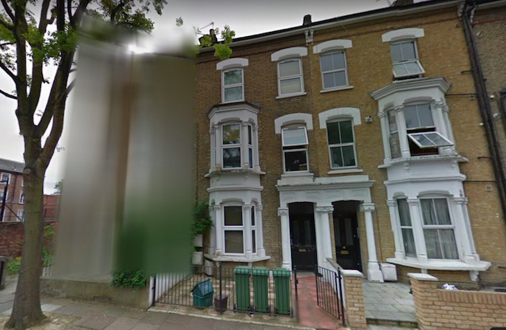
What's the big secret? Presumably it's a householder looking for privacy (and we'll respect that by not giving the precise location). But doesn't a little part of you now want to visit the site in real life, just to see what's there?
That's the thing about Google Street View — it shows so much of the city that anyone who wants to abstain becomes all the more conspicuous. It's rather sinister when you think about it. You can never truly hide from Pegman.
Spotted any other intriguing omissions in Google Street View? Let us know in the comments.


