This is a sponsored article on behalf of the UK Mapping Festival 2018.
We are living in a golden age of mapping. New technologies help us map the world in ways that were inconceivable at the start of the century. Who then could have imagined that a map of London's communities might be conjured from the languages used in a million tweets? Did anybody foresee a time when a device in the pocket might show the precise whereabouts of your late-running minicab or bus or takeaway?
As drones take to the skies in increasing numbers, 3D models get ever-more sophisticated, and virtual reality allows us to delve into impossible spaces, it's time to ask: What will the next 20 years hold?
For the best insight imaginable, head along to the UK Mapping Festival 2018 at the ILEC conference centre in Fulham. The show, which runs 2-7 September (conference 4-6 September), is for everyone — from professional cartographers and surveyors to amateur geography enthusiasts and even family groups.
Lego globes and cartographic comedy

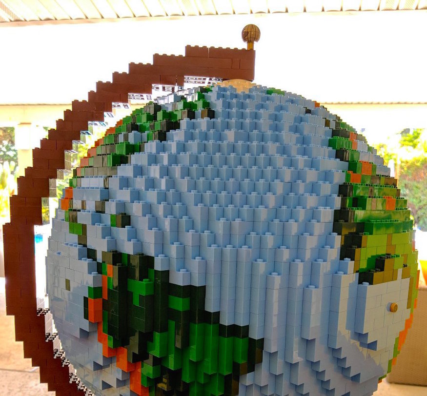
There's plenty to get your hands on in the free exhibition space. Have a play with the largest and most accurate 3D digital representation of London. Try out a new augmented reality app (shown above) from Aligned Assets. Check out the history of the UK in maps. Admire a globe made from Lego by Kenneth Field, author of the new book Cartography. There's even an after-school club for kids.
Evening events include the cartographic comedy night Mapsolutely Hilarious, and a talk by former SAS member turned broadcaster Ken Hames, who will discuss his distinguished military experience in My Life With Maps.
Secret spy maps and a National Park City

Many of the talks address issues important to London.
- A historical talk by John Davies and Alex Kent will reveal the secret techniques used by Soviet agents to map London in during the Cold War.
- Charlie Peel will reveal how he created the remarkable map of the proposed London National Park City, shown above.
- Theresa Alberts and Jordan Di Trapani discuss TfL's Cycle Infrastructure Database — a new project to survey cycling assets down every street and path in the capital.
- Trevor Adams of the Metropolitan Police looks at how the force uses mapping and spatial data to solve crime.
Other talks include a look at cartography in the first world war, an overview of OpenStreetMap, the challenges of 3D modelling, the thoughts of the Government’s Geospatial Commission on future of mapping in the UK, as well as map-making workshops and much more.
Make sure the UK Mapping Festival 2018 is on your map. Book tickets now.