You might want to set aside a weekend. 96,000 historic images of Britain from the air are now freely available to view on the Britain From Above website.
The site draws on the Aerofilms collection, offering elevated photos of the country between 1919 and 2006.
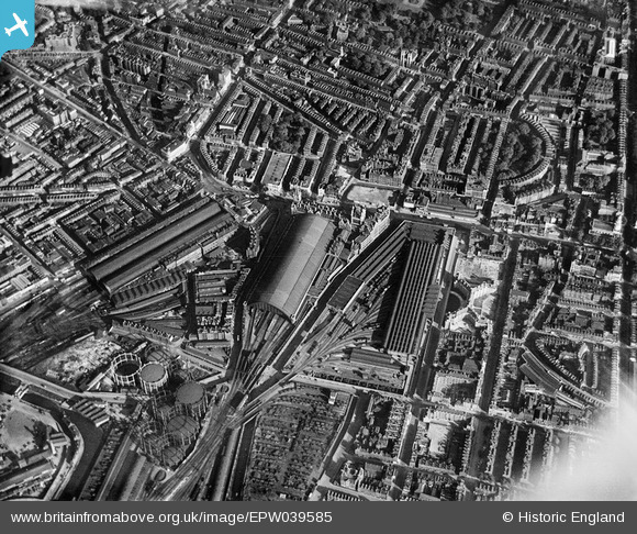
And what an addictive trove it is. London is particularly well covered. Chances are that the street where you live or work will be covered on at least one image. Everything's mapped, too.

This an enthralling tool for anyone with an interest in the capital's (and Britain's) history — or simply as a way to discover how your neighbourhood once looked.

This project was made possible due to a grant from the Heritage Lottery Fund and support from The Foyle Foundation and other donors.

Have a play with the site yourself, and let us know if you find anything special.
Thanks to @MrTimDunn for the tip-off.