
The Museum of London, in cahoots with HISTORY channel, has released a new app that lets you explore Londinium, the Roman progenitor of London. It's good. Very good.
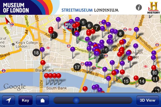
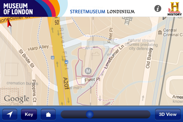
After viewing a scene-setting timeline, you're taken to a map of the Roman city. The ancient street plan, rivers and channels, important buildings and cemeteries are all illustrated. Now, swipe the time bar to the left and the Roman map is gradually overlaid with a modern Google map. It's possible to see how roads such as Bishopsgate and Aldgate have maintained their original alignment...how the perpetually troubled area of Smithfield was once an enormous graveyard...how Southwark has changed beyond recognition.
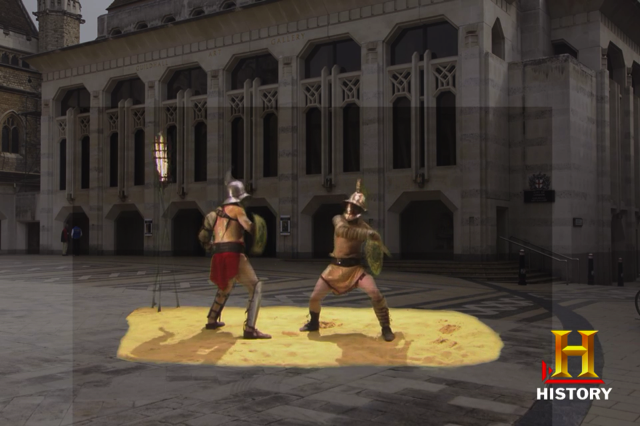
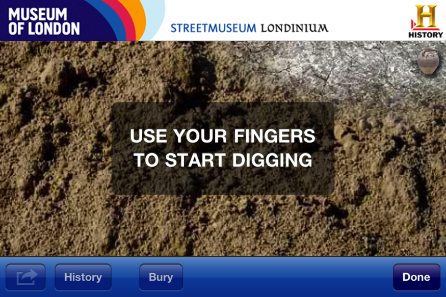
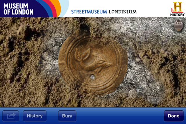
Features of interest are marked with pins, which call up photos, reconstructions and short video clips. The dig function is a fun little gimmick, which allows you to slowly unearth treasures by rubbing your finger over the screen, or clearing the dust by blowing into the microphone. Finally, there's an augmented reality dimension, which superimposes old buildings over the camera view.
You want to know the best thing? It's completely free to download from the iTunes app store. Outstanding.
Streetmuseum Londinium is out now for iPhone, iPad and iPod. FREE