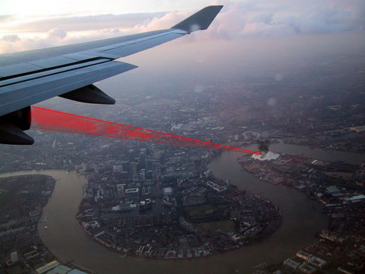
Hey, did you know that every building in London has been targeted by aircraft-mounted lasers? We certainly didn’t. But now at least we know why Londonist’s TV set keeps switching channels unexpectedly.
It’s all part of the revolution in 3D mapping. While everyone’s been salivating over Google Earth, other initiatives have been waiting in the wings. And not just waiting. Here’s one that uses wings.
Aerial mapping company BlueSky has announced a new 3D digital map of the whole of Greater London. Captured using the LiDAR (Light Detection and Ranging) distance measurement system, the aircraft-mounted laser technology determines accurate heights of land and buildings. The map is already proving to be a valuable tool for flood mapping, terrorist threat assessment and environmental modelling.
They’ve got it to an accuracy of 15 cm. A resolution sharp enough to separately visualise Ant and Dec.
The press release doesn’t mention costs, which probably means this isn’t intended for the general public. But still. The words 3D and London will always make us drool.
Photo adapted from this chap’s blog.


