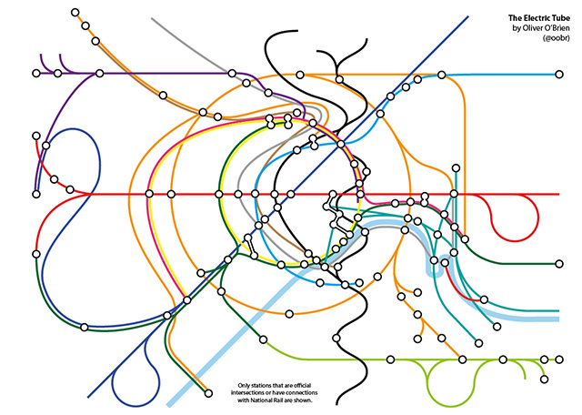
The latest artistic re-imagining of the malleable London Underground map comes courtesy of Oliver O'Brien (@oobr), of UCL's Centre for Advanced Spatial Analysis (CASA). Responding to the imminent opening of the London Overground extension between Surrey Quays and Clapham Junction, will will be the last link in an outer orbital railway around the capital, Oliver has plotted the Tube, rail and DLR, tram and cable car line onto a "topologically accurate", albeit not entirely practical, map.
Is it useful for planning a journey about town? Probably not. But it looks beautiful, a sinewy mess of infrastructural nodes and connections representing a transport network which, despite the problems and the complaints that it draws, remains the beating heart of the city.
Read more about the thinking behind it at Oliver's website.


