
Historic England has launched an online Local Heritage Hub, featuring photos and archive material from 400 locations across England.
Anyone can search the website for free — simply type in a postcode or area to see what it's got on your locale.
Naturally, London is covered. The capital is represented by Greater London, while each borough (and the City) also has its own page. Each page contains a brief timeline, dating from the first period of use for buildings and places on the National Heritage List, through to the present day. For most London boroughs, that's the medieval period, but for Greater London the timeline stretches all the way back to the prehistoric period: an impressive 25 sites in the region can be dated back to this time.
Alongside the timeline, the content available for each area varies, but includes pictures (both photos and artworks), and links to Historic England news articles, blogs, research, videos and podcasts which feature the area. There's also a brief overview of some of the most significant historic sites, drawn from the National Heritage List for England.
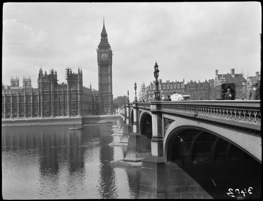
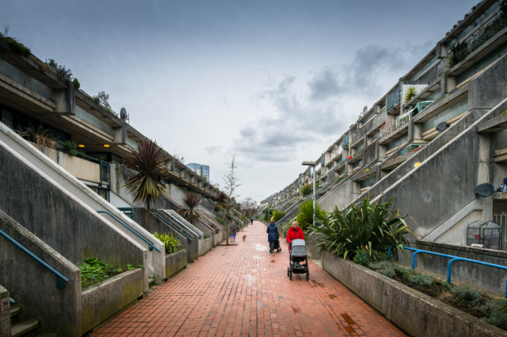
Important buildings, both historic (St Paul's, The Tower of London) and more recent (Barbican, Balfron Tower, Lloyd's Building) feature. Social history is also showcased with the inclusion of venues such as F Cooke's Eel, Pie and Mash Shop on Broadway Market, and the Stag's Head Public House in Hoxton (both Hackney).
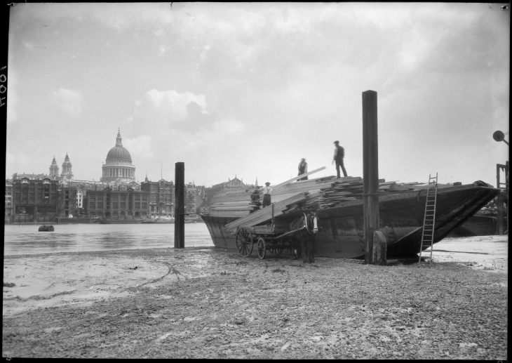
Our favourite part is probably this interactive map of aerial photos of London (and the rest of England). Every clickable lilac square is a different photo of that area, taken from the air. Anyone could spend hours down that particular rabbit hole, tracing how areas have changed over time.
New places, information, and sections will be added over time, so it's worth checking back every so often. Browse the Local Heritage Hub here.


