A new book is jam packed with political maps of London and beyond.
Adam Dant puts both the 'art' and the 'er' into cartographer. The art is obvious, but it's the 'er?' of curiosity that makes his maps such a joy to explore. Dant's skewed sense of humour and erudite, sometimes obscure references will have you furrowing your brow until you suddenly spot the connection. It's all part of the fun.

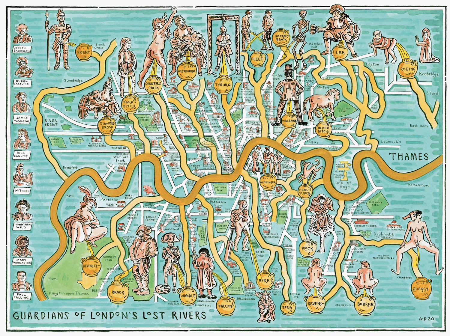
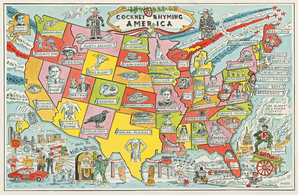
His new book features dozens of hand-drawn political maps, all dense in wit and savvy. Dant's sardonic pen delineates the whole world, picking out moments of political history or culture in ever-more creative ways. Perhaps half the book is given over to London maps — a particularly rich seam for Dant, whose local handiwork is regularly featured by the Gentle Author in his well-regarded blog Spitalfields Life. (Indeed, Dant reciprocates by including a map of the Gentle Author's tour of Spitalfields.)
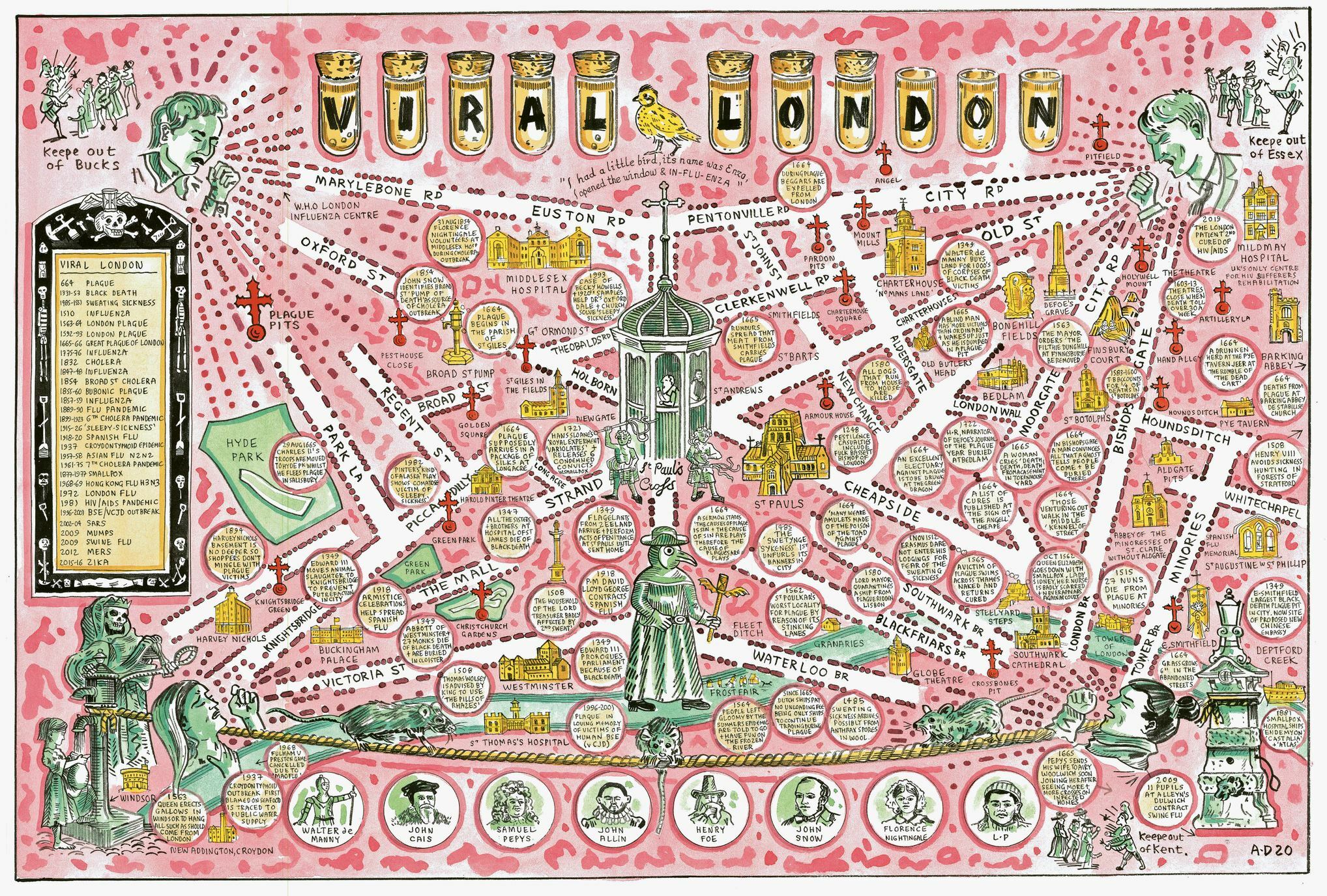
Despite the title of 'political' maps, the book contains much that is tangential or even apolitical. Viz a mischievous map of lost rivers (see below), the streets of Theatreland, or a cityscape of proposed but never-built structures (with draughtsmanship that's infinitely better than our own efforts on this topic). All are fabulous, though, so who cares if they deviate from theme?

Along with Dant's 2018 volume Maps of London and Beyond, this is an absolute must-purchase for anyone who draws a mote of joy from gazing at artistic maps... which is to say, everybody.
Adam Dant's Political Maps is published by Batsford. Get via your local bookshop, or Bookshop.org. Limited edition prints available from TAG Fine Arts.