
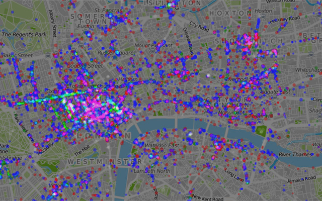
Stuart Robinson has made use of Foursquare checkin data to produce this interactive visualisation showing where Londoners eat, drink and shop. Click on the image above or on this link to see it in action.
While the map doesn't produce many surprises (Oxford Street is popular for shopping — who knew?) it's one of the more interesting uses of Foursquare we've seen so far. As Stuart notes, it should also prove useful to our Olympic visitors in showing them that there are interesting parts of the city worth visiting beyond the boundaries of Stratford and the West End.
See also:


