
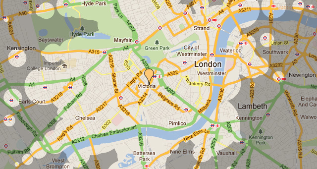
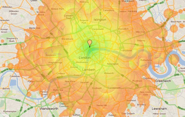
The latest gadget to help you get around town is Stefan Wehrmeyer's Mapnificent, a map that shows how far you can travel from any particular destination on foot, by bike, or via public transport.
Choose a spot anywhere in town and use the slider to restrict your journey time, and the map will fill with blobs showing where it's possible to get to. Mapnificent also allows you to specify whether or not you have a bike and what the time and day is, to help better predict travel times during rush hour. There's also a colour-coded option for those not sold on the blobs.
The map is a little sluggish at times, particularly on a slow computer, but it's still a fun way of seeing how far you can dash across town from any given spot. There are plenty of commercial aspects to the technology— in fact it was inspired by Mapumental, which looks a more commercial-minded rival. It's not quite as fun as the travel time Tube map (itself quite a few years old now), but it's another worthy addition to the growing plethora of digital London maps.


