3D Models Of London Buildings Come To Google Maps

Dean Nicholas
By Dean Nicholas Last edited 152 months ago
3D Models Of London Buildings Come To Google Maps
The Palace of Westminster. Photo / Martin Deutsch
Tower of London. Photo / Martin Deutsch
The City. The cylindrical building is Google Map's attempt at recreating the Gherkin. Photo / Martin Deutsch
The Shard, apparently. Does Renzo Piano know about this?
Royal Courts of Justice and the London School of Economics
The Globe Theatre
The Globe Theatre

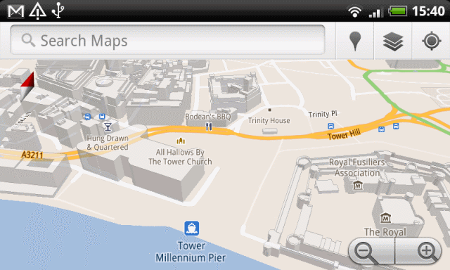
Google has introduced vector graphics-powered 3D models of London buildings to Google Maps for the Android platform

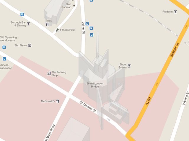
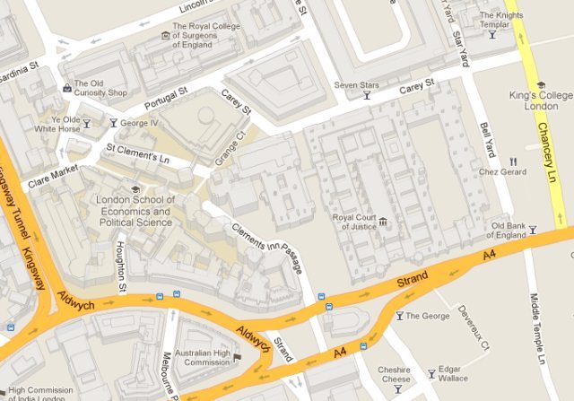
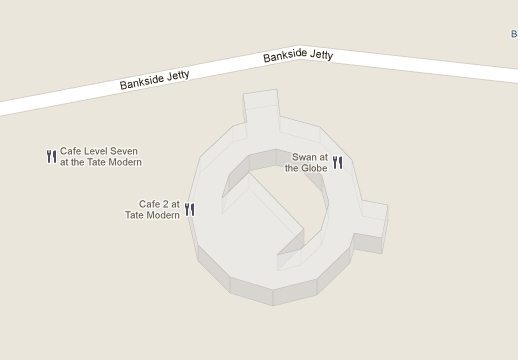
On a suitably equipped mobile device, the user can zoom in and tilt to get a sense of scale; thanks to Martin Deutsch for sending in some of the photographs above which illustrate giw tgus wirj. Some parts of the city densely covered with buildings (around Holborn, for example), while others are less so, and some of the capital's more notable buildings, like Battersea Power Station, areĀ  yet to be rendered. Others, like the Shard and the Gherkin, are in need of a few design tweaks.

The desktop version of Google Maps also includes 3D models of many buildings, though at present it lacks the ability to pan and tilt.

But seriously, what are you still reading this for? Go explore. Now. And report back here any oddities or interesting things that you find.

See also:

London oddness in Google Maps

Google Maps: the new bits

3D virtual model of London

Google Earth's 3D models of London

Last Updated 22 July 2011